Don’t hesitate to contact us:
Forum: discuss.graphhopper.com
Email: support@graphhopper.com
Lean back and read our fresh spring news: For the GraphHopper Directions API we are looking for an infrastructure engineer – feel free to contact us for more details. A few weeks ago we released the new version 0.12 of the GraphHopper open source routing engine. Read more about it here. Finally we are happy […]
A new release 0.12.0 of the open soure GraphHopper routing engine is available. The GraphHopper routing engine supported turn restrictions and turn costs only for a subset of its algorithms. After over a year of work on the edge-based routing for the speed mode (Contraction Hierarchy=CH) it is now possible to support turn costs for […]
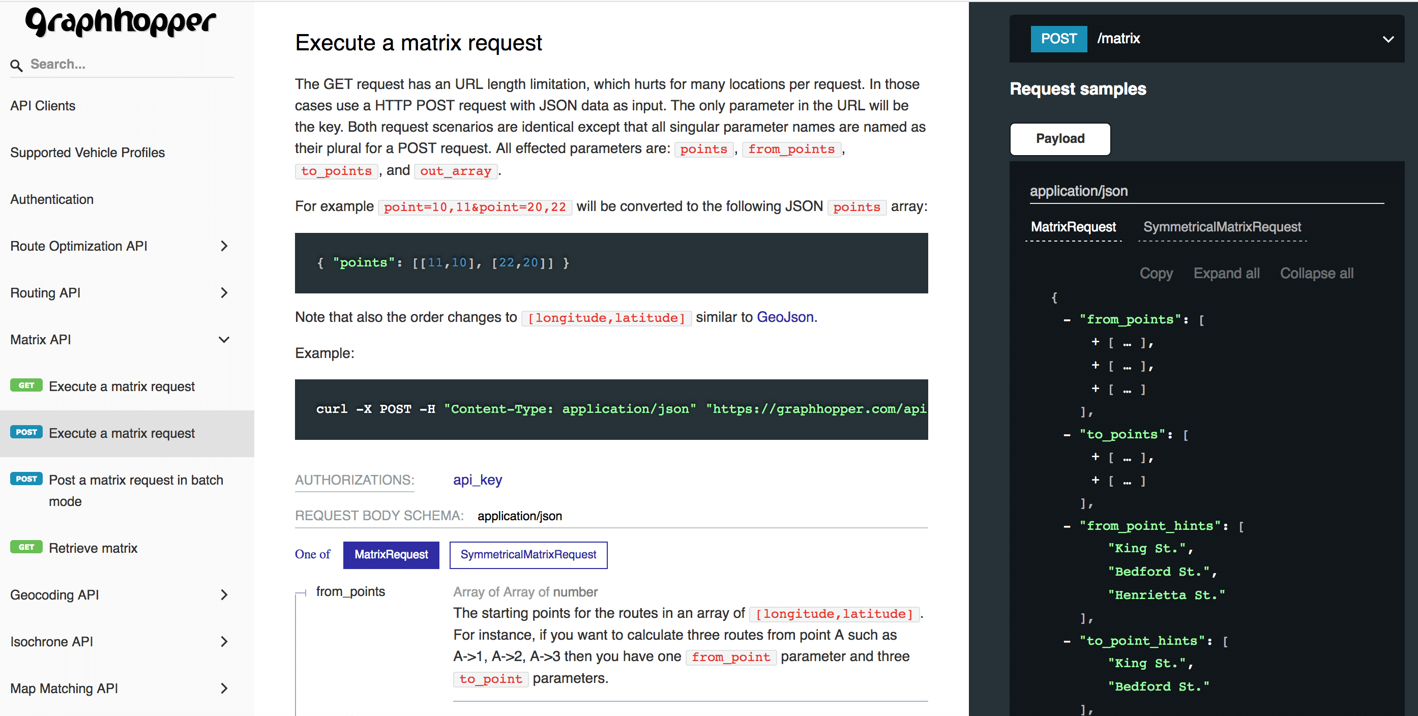
We are happy to announce our new API docs. We specified our APIs in the OpenAPI specification language and moved the entire content of our old documentation to a single OpenApi 3.0 document. This has many advantages: There is only a single source for the documentation of new features, and for generating client code to […]
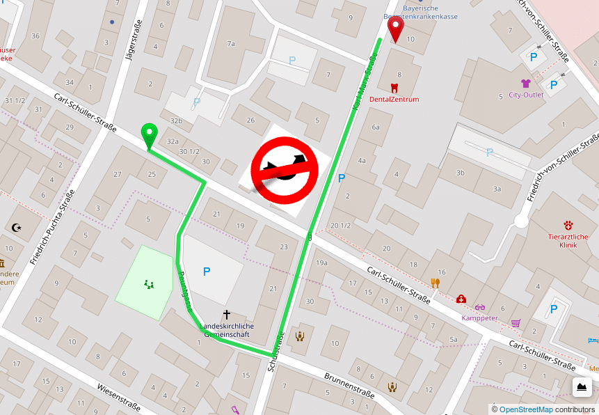
We are proud to announce that we are gold corporate member of the OpenStreetMap Foundation! Do not hesitate and follow our example to support a valuable project. During the last months we have been constantly working on our services and released a new feature for our Route Optimization API: job groups. With job groups you […]
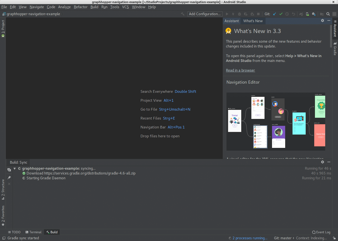
In our previous post we introduced the GraphHopper Navigation SDK. Today we’ll show the detailed steps on how to customize our GraphHopper Navigation demo app that uses the GraphHopper Navigation SDK. Android Studio Installation For Android development you need to install Android studio: Download Android Studio for your operating systen (~1GB) https://developer.android.com/studio/ Install Android Studio […]
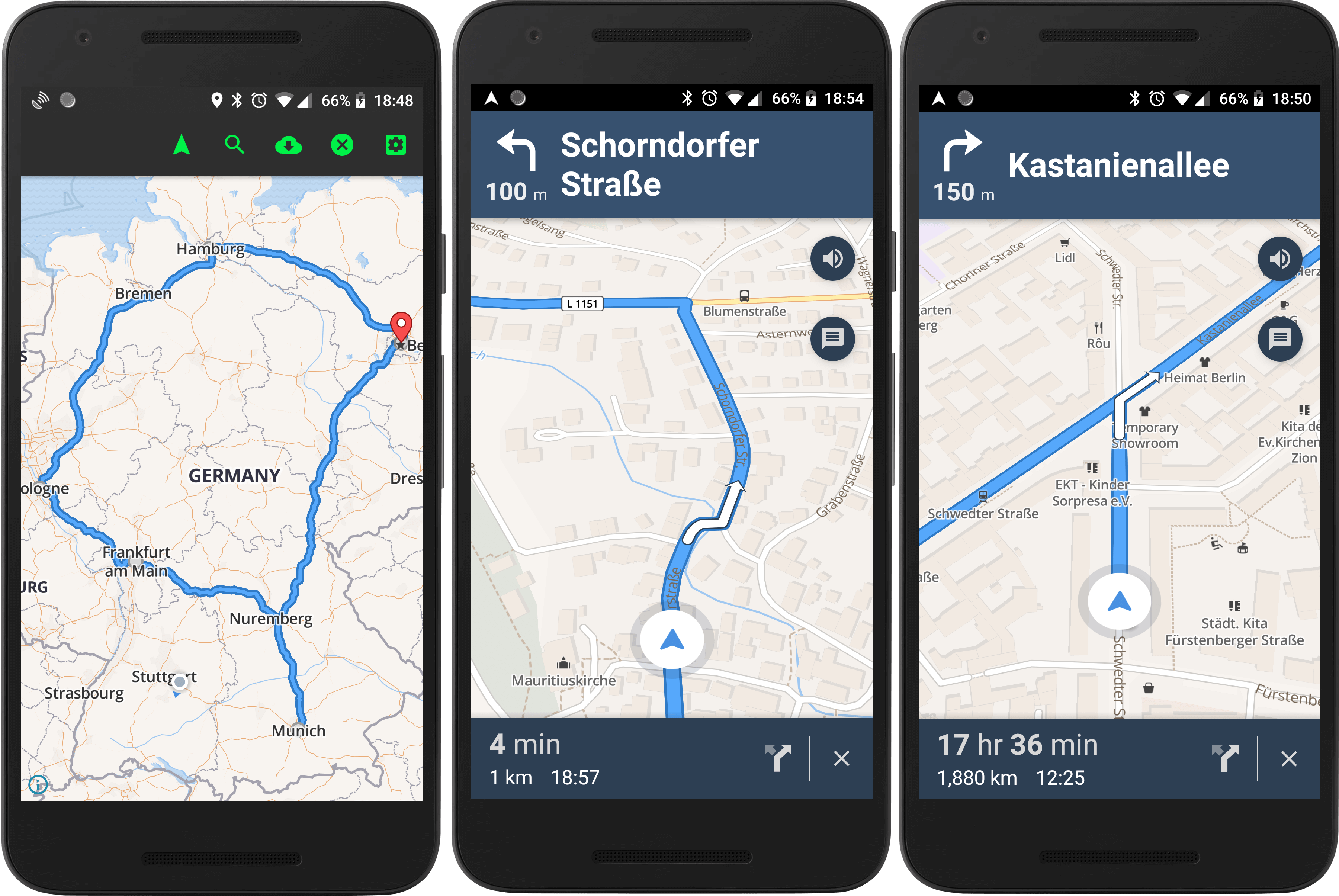
At GraphHopper we regularly receive requests on how to build a navigation app with the GraphHopper Directions API. At the moment our customers either have no turn-by-turn navigation or rely on third party apps like Google Maps or devices from TomTom. The biggest disadvantage in this case is the mismatch of estimated time of arrival […]
