Don’t hesitate to contact us:
Forum: discuss.graphhopper.com
Email: support@graphhopper.com
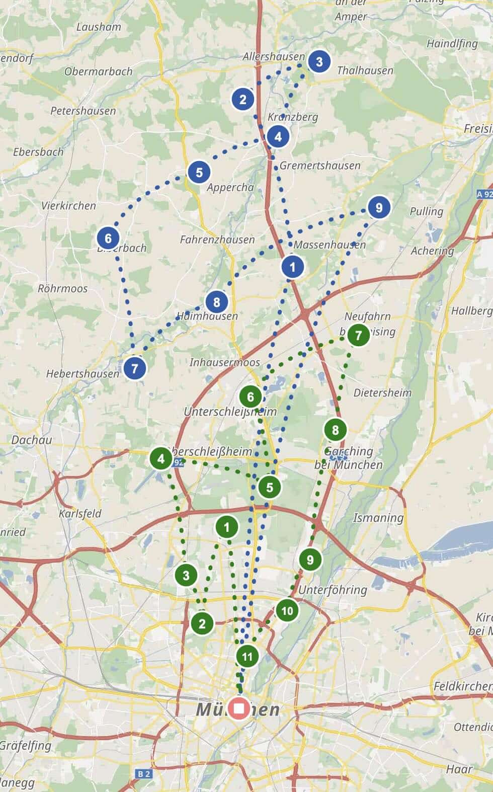
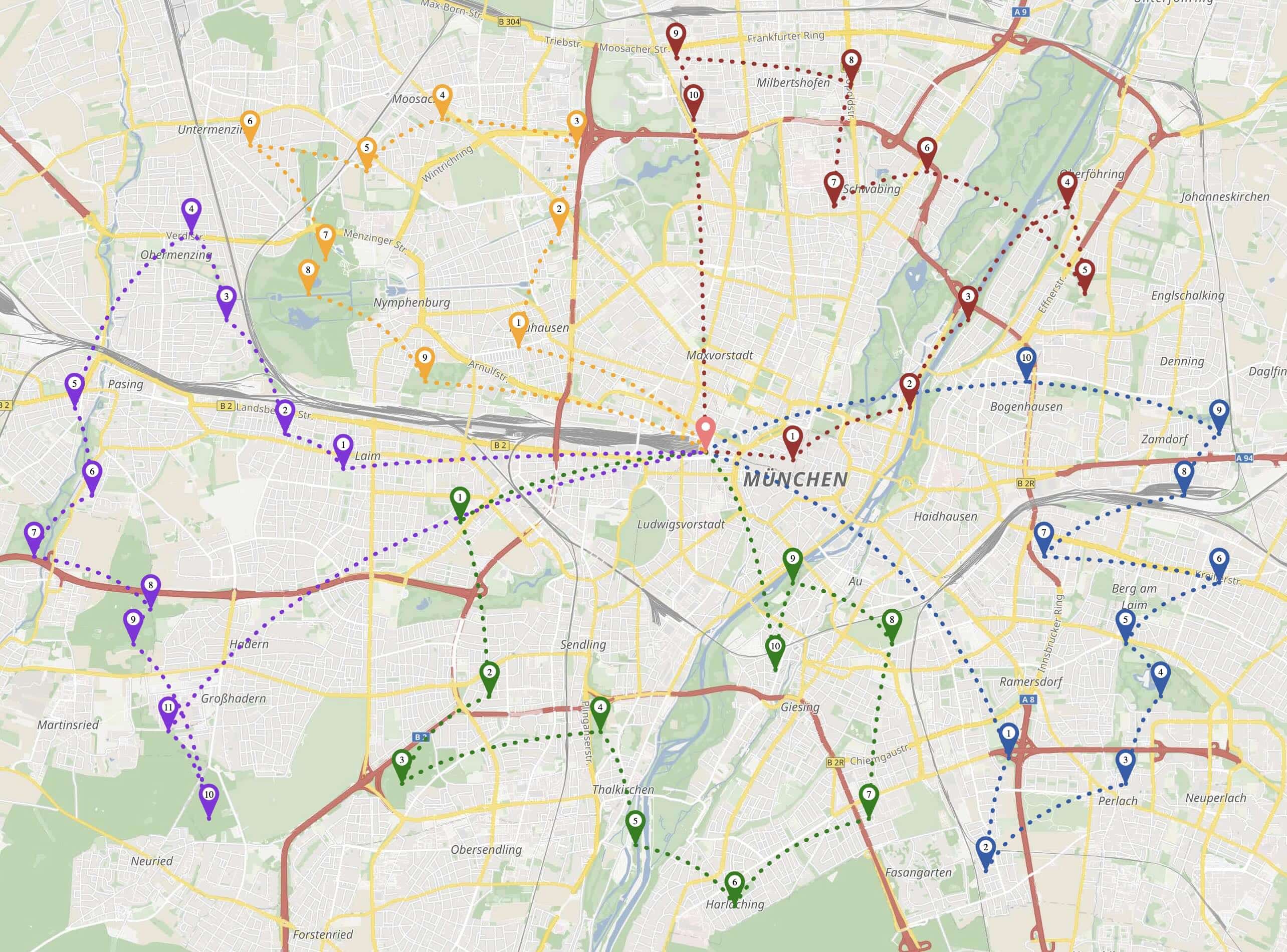
I would like to show you how to define the geographic shape of a route without losing the optimization within each area. Imagine you are a route planner and you know that your driver should visit the north side of town first, then the center, then the south. Until now you had to either set […]
After 6 years since the last major release, we’re excited to announce jsprit 2.0, a significant update to the open-source vehicle routing library. Modern Java Foundation jsprit now requires Java 21. Composable Ruin & Recreate Operators Independently select and weight ruin and insertion strategies: Jsprit.Builder.newInstance(vrp) .addRuinOperator(0.3, Ruin.radial(0.3, 0.5, 10, 70)) .addRuinOperator(0.2, Ruin.kruskalCluster()) .addInsertionOperator(0.7, Insertion.regretFast()) .addInsertionOperator(0.3, […]
GraphHopper is used for many use cases and various companies around the globe have integrated it to provide outdoor trip planning for their customers. They all rely on precise elevation data: be it for displaying purposes, statistics regarding the incline, for bike routing to avoid hills or to better estimate energy usage of electric vehicles. […]
When a job can’t be assigned during route optimization, understanding why can help fixing the problem. Until now, our API returned only the single most likely reason. Sometimes that was misleading since it did not show the full picture. Consider this scenario: You set up a sequence relation requiring job A to be delivered before […]
Suppose you have a fleet of 5 drivers and 50 delivery stops. You want each driver to have a fair share of work — not one driver working 10 hours while another finishes in 2. Until now, you could use min-max to minimize the longest route. But min-max only cares about the maximum — it […]
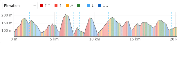
When optimizing delivery routes, not all time spent at a stop is the same. Over the years, we’ve added several timing parameters to model real-world scenarios more accurately. With our latest addition, setup_time, we now cover another common case: fixed overhead when arriving at a location. The Timeline at a Stop Let me walk through […]
