Don’t hesitate to contact us:
Forum: discuss.graphhopper.com
Email: support@graphhopper.com
This month we are glad to announce some new features for the Routing API, Map Matching API and Route Optimization API.
The Routing API introduces path details and an “avoid” feature. Path details allow you to fetch properties like travel time, maximum speed etc. from every single road section.
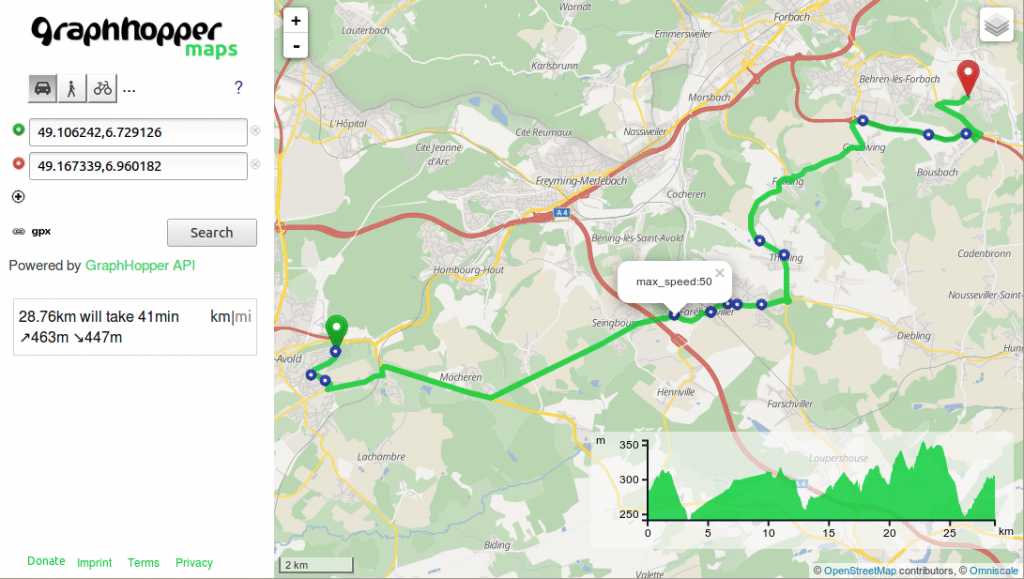
Display all different maximum allowed speed values along the path
You can use these path details along with the Map Matching API such that when measured GPS points are snapped to roads, the API can not only return turn instructions but also, for example, the maximum speed values and surface conditions. You could use it for instance to find out speed violations or create statistics about toll and motorway usage.
As the name “avoid feature” suggests, it allows you to avoid and navigate around toll roads or motorways like in the image above. It is important to note that at the moment some path details and parts of the avoid feature are limited to motor vehicles.
When it comes to the Route Optimization API, it is now possible to disallow vehicles to carry out particular services. Additionally, you can now limit the total driving time of your drivers in contrast to limiting the total operation time.
Last but not least, we’ll soon release the Isochrone API as open source. Feel free to use and test it and tell us what is missing!
Happy xmas routing!
